
Websites
Geomorphic features
-

Lagoons
Coastal lagoons with mapped boundaries, dimensions, and projected inundation by 2100 under two IPCC climate scenarios. The current dataset covers Greece.
Visit website: Lagoons -

Beachrocks
A global beachrock inventory covering coastal settings, cement mineralogy, formation processes, dating methods, and published sources.
Visit website: Beachrocks -

Tombolos
Mapped tombolo dimensions and coastal connection types, comparing current submergence with projected inundation by 2100. The current dataset covers Greece.
Visit website: Tombolos
Natural disasters
-

Floods
Historic flood locations in Greece (1886–2022) and affected European administrative regions documented by HANZE (1870–2020), with dates, impacts, and supporting sources.
Visit website: Floods -

2026 Nepal Cascade Hazard Resources
A living catalogue of satellite data, hazard assessments, and humanitarian reports, with linked assets and documented search methods.
Visit website: 2026 Nepal Cascade Hazard Resources -

2026 Nepal Cascade Hazard
An interactive 2D and 3D reconstruction of the Bhote Koshi–Trishuli hazard cascade, bringing together satellite imagery, terrain, flood extents, and documented impacts.
Visit website: 2026 Nepal Cascade Hazard -

February 2026 Storm Surges
Coastal areas affected by the February 2026 storms in Greece, with event dates, emergency declarations, and Natura 2000 protection status.
Visit website: February 2026 Storm Surges
Research initiatives
-
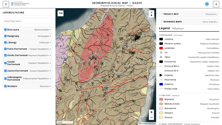
Geomorphological Map of Naxos
Interactive bilingual web map of Naxos geomorphological landforms and lithology, based on the 1:50,000 geomorphological map by N.K.U.A. and EAGME.
Visit website: Geomorphological Map of Naxos -
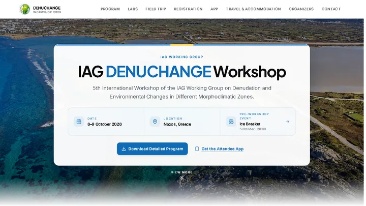
IAG DENUCHANGE Workshop
Official website for the 5th International Workshop of the IAG Working Group on Denudation and Environmental Changes in Different Morphoclimatic Zones, held in Naxos, 6–9 October 2026.
Visit website: IAG DENUCHANGE Workshop -
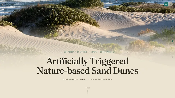
Artificially Triggered Nature-based Sand Dunes
Research website documenting the artificially triggered nature-based sand-dune experiment at Agios Georgios, Naxos, including its method, monitoring, measured results, and field evolution.
Visit website: Artificially Triggered Nature-based Sand Dunes
Read more on Collections of Geodatasets
Adapted descriptions and original previews · CC BY 4.0.